December 16 – Wendy Thibodeaux
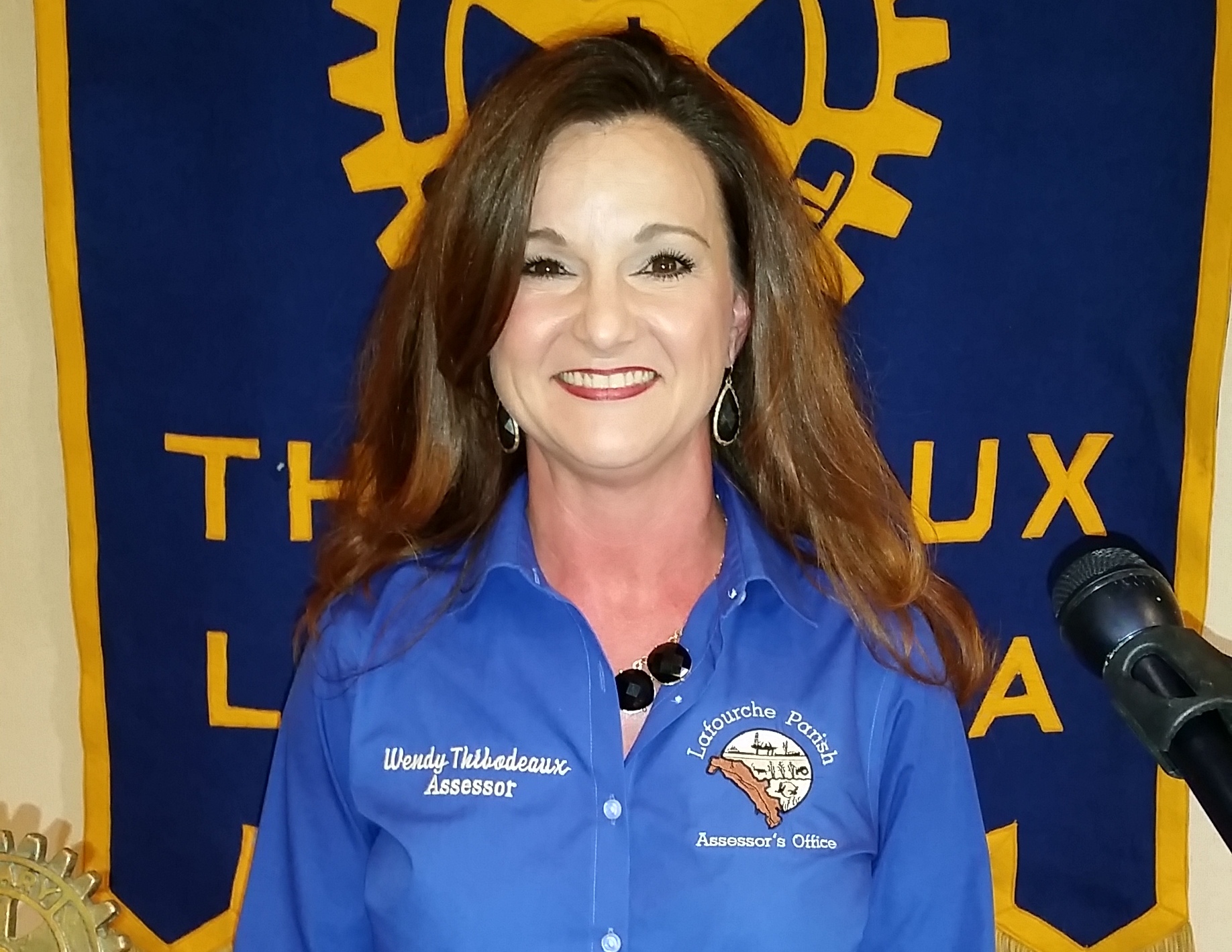
Lafourche Parish Assessor’s Office Digital Mapping Software was developed over a seven year period by Wendy Thibodeaux and former Lafourche Parish Assessor, Mike Martin. The total cost to develop was $750,000. The funds came from annual millage roll backs which enabled the software to be developed without additional cost to the taxpayers of Lafourche Parish. As you enter the software, the first button on which to click is the disclaimer. The disclaimer signfies the office is looking for user feedback regarding questions, errors and/or changes to ensure accuracy. The digital mapping software accuracy is based on legal descriptions and not maps. When a question arises, the office always refers to the legal description of the properties to get the inquiry answered. There are multiple ways to search for properties which include owner’s name, subdivision, physical address and even by well. Properties can be measured as well as structures directly from the software. Property history can be viewed which includes oil and gas well ownership as well as pipelines. The software company can build on what is there to address newly identified land and/or properties. The tax roll in the software is updated every 24 hours while the property lines are updated once per month. Property title changes are completed within one month from the submittal date. Oil and gas entities are taxed once per year on January 1st. Taxes on watercraft occur on January 1st or the first port of entry. Lafourche boat owners strive to have their boat in Lafourche to ensure the tax monies remain local. Furthermore, out of service watercraft get a tax break until the boat goes into service again. Plaquemine is the lowest watercraft tax rate; however, the fuel consumed to travel to Plaquemine is higher than the tax savings. Wendy Thibodeaux is in the process of traveling to each district within Lafourche parish to show how the assessor’s office rolls back the tax millage. Lafourche is the 12th highest in millage tax within the state of Louisiana. The digital mapping system illustrates the tax roll of Lafourche Parish and is not intended for legal purposes. The Digital Mapping Software developed by the Lafourche parish assessor’s office is a tool available to everyone especially the parish citizens to visualize and understand how their physical property is related to their millage tax.